[ad_1]
The Basics of Cadastral Surveying: An Overview
Cadastral surveying is an important and specialized form of land surveying that is used to define and measure land boundaries for the purpose of creating and maintaining land ownership records and maps. It is used to define and measure all property rights and interests, including easements, rights of way, and other types of real property rights. Cadastral surveying is a vital part of land development, real estate transactions, legal matters, and many other activities related to land ownership.
History of Cadastral Surveying
Cadastral surveying has a long history. It began in ancient times and was used by a variety of cultures and civilizations to establish and mark boundaries of land ownership. The term “cadastral” is derived from the Latin word “cadastre,” which means “a register of land” or “land registry.” Cadastral surveying has been used for centuries to define and measure land boundaries and create accurate maps of these boundaries.
Principles of Cadastral Surveying
Cadastral surveying follows several fundamental principles, including:
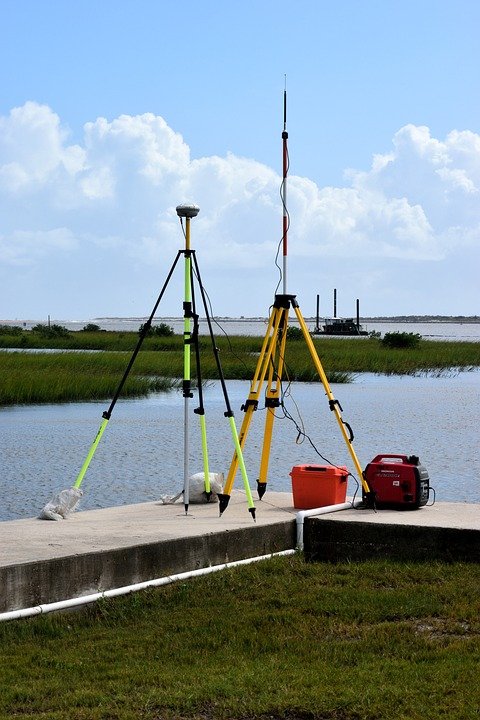
- Accurate measurements: Cadastral surveys must be precise and accurate in order to ensure that the boundaries of a property are accurately and correctly determined. This requires the use of specialized surveying equipment, such as total stations, GPS receivers, and aerial photography.
- Legal considerations: Cadastral surveys must take into account all applicable laws and regulations, such as land use laws, property tax laws, and zoning laws. The surveyor must understand the legal implications of their measurements and ensure that the survey accurately reflects the current legal situation.
- Integrity: Cadastral surveys must be conducted with integrity and honesty. The surveyor must be unbiased and impartial and must not allow any personal or financial interests to influence the accuracy of the survey.
- Respect for property rights: Cadastral surveys must respect the rights of all property owners. The surveyor must be aware of all relevant property rights and interests and must ensure that these rights are not infringed upon during the course of the survey.
Types of Cadastral Surveying
There are several types of cadastral surveying, including:
- Boundary surveying: This type of surveying is used to establish the boundaries of a property. It involves measuring and mapping the boundaries of the property to ensure that they are accurate and that the property rights of all owners are respected.
- Subdivision surveying: This type of surveying is used to divide a larger parcel of land into smaller parcels. It involves creating an accurate map of the parcel that accurately reflects the boundaries of each smaller parcel.
- Topographic surveying: This type of surveying is used to create a detailed map of the terrain of a property. It involves measuring and mapping the elevation, terrain features, vegetation, and other features of the property.
- Planning surveying: This type of surveying is used to assess the suitability of a property for development. It involves creating an accurate map of the property and analyzing the land use, zoning, environmental, and other factors that may affect development of the property.
Conclusion
Cadastral surveying is an important and specialized form of land surveying that is used to define and measure land boundaries for the purpose of creating and maintaining land ownership records and maps. It follows several fundamental principles, including accuracy, legal considerations, integrity, and respect for property rights. There are several different types of cadastral surveying, including boundary surveying, subdivision surveying, topographic surveying, and planning surveying. Cadastral surveying is a vital part of land development, real estate transactions, legal matters, and many other activities related to land ownership.
[ad_2]


