Whether you are building a new home or renovating an existing one, you should always get a survey of your property. This will help you know where your land is, as well as any encroachments or other issues that may arise.
There are many different types of surveys, but the accuracy of these measurements depends on several factors. Those include weather conditions, terrain and vegetation.

Boundary Surveys
When you are planning to build a new home, erect a fence or extend your property, it is important to determine where the exact boundary lines and corners are. Accurate surveying can prevent disputes between neighbours and ensure that your property line is accurately depicted in the land title plan.
This can be done by having a Boundary Identification Survey carried out which has a high degree of accuracy and establishes the true position of your boundaries in relation to neighbouring properties. These surveys require 2 site visits and a specific type of plan that is lodged into the Titles Office.
Only Registered Cadastral Surveyors can carry out this work so be sure to ask your land surveyor in Brisbane for their cadastral endorsement before having your boundaries marked. This will protect your interests and avoid costly legal disputes.
Topographic Surveys
If you’re building a new home or doing a major renovation on your Brisbane property, you may need a topographic survey before construction begins. This survey will help architects and engineers to plan the structure to fit well with the landscape.
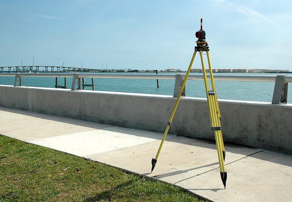
A topographic survey creates a detailed map of the terrain, elevation and properties structures. This is done by using specialized instruments like GPS, EDM and total station theodolites to collect data.
The cost of a topographic survey depends on the size and complexity of the property. Larger parcels with varying elevations and terrain levels can take longer to survey than small plots.
Elevation Surveys
An elevation survey is a great way to determine the height of your property as well as what you can and cannot build. This is particularly useful if you are relocating your home to a new location as it may help you secure the necessary land permits before construction begins. The best part is that this information can be incorporated into your landscaping plans to give you the aesthetically pleasing outdoor space you’ve always wanted.
Construction Surveys
A construction survey is the process of staking out reference points and markers that will guide the construction of new structures like roads or buildings. These markers are typically staked out using the project’s chosen coordinate system.
During construction, it’s important to double-check the position of these markers so that you can make sure everything is built correctly and safely. This can save you money down the line, and ensure that your property is safe and functional for years to come.
Construction surveys can also help establish the location and alignment of bridges, highways, pipes, buildings, and other man-made objects. They are used after large-scale projects have been completed, as well.
Construction surveys are essential to engineering projects because they help ensure that a building or roadway will be safe and viable for its intended use. They also provide a detailed overview of the land, including its current conditions and any existing issues that may need to be addressed before the construction begins.