Land surveying is a fascinating field that has its roots in historical technique. It’s a profession that is still needed today, and it can be done in many different ways.
The field of land surveying is constantly evolving and changing, but it is always necessary. Fortunately, modern technology is making it easier for land surveyors to do their job more efficiently.

Magnetic Compass
The Magnetic Compass is a simple device that uses magnetic fields to determine the direction of a magnetized needle. This instrument can be used on land or in the ocean, and has been around for thousands of years.
It consists of a circular brass box that houses a magnetic needle. This needle swings over a 360-degree bass circle.
This instrument can be used to measure horizontal angles such as angles in buildings and related measurements. The compass has graduations to indicate degrees and half-degrees.
On a survey chart, you’ll see the headings indicated in degrees and also declination (a difference between true north and magnetic north). These are important because variation and deviation are noted on charts.
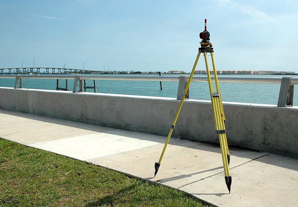
Theodolites
Theodolites are a type of precision instrument that can be used to measure horizontal and vertical angles. Surveyors use these instruments to make precise measurements of areas in order to create maps or build roads.
The instrument features a swiveling telescope that can be adjusted to measure both horizontal and vertical angles. It also has a sight that can be used to align the telescope and a crosshair that can be aimed at a specific point.
Modern theodolites are equipped with vernier scales that can measure angles to a small degree, such as 0.1’ or 1 second. In addition, some models can be adjusted to double angles for error reduction.
Theodolites are a crucial tool for land surveying, but they require careful care and maintenance to function correctly. They also need a variety of accessories to ensure their accuracy and efficiency. These include tripods, cases, batteries, targets, prisms, software and data collectors.
Telescopes
Whether surveying for construction, land development or mapping, it’s important to get big measurements right. That’s why surveyors use a range of equipment including the optical theodolite, total station, 3D scanners, level and rod.
The earliest practices of land surveying can date back to the ancient Egyptians who constructed the Great Pyramid at Giza. They established precise plots of land for taxation and paved the way for modern surveying techniques.
Today, surveyors continue to map and measure critical man-made features on our planet. From roads and bridges to pipelines, surveying is an integral part of building everything from a three-bedroom tract house to a super skyscraper.
Leather Coverings
One of the perks of being a land surveyor is access to a library of surveying literature from the early 19th century up to the present day. Aside from the usual suspects, this illuminating repository is also home to an array of other notables. Some of the more interesting finds include an octavelloum adorned folio and a collection of archival genii, including a triumphed sized libryte, albeit it’s the small variety. The best part is, you get to try it all for free.
Tools
Land surveyors use a wide variety of tools to complete their work. They have access to equipment such as total stations, robotic total stations, theodolites, GNSS receivers, retroreflectors, 3D scanners, LiDAR sensors, radios, inclinometers and handheld tablets.
The tools are used to create the data used to define and map land. This includes ALTA/ACSM surveys, boundary surveying, construction surveying, location, site planning and subdivision surveying.
The main function of surveying is to determine the existing relative horizontal and vertical positions of various forms, boundaries and objects in space. This is done in two ways: the first is to establish a baseline, which allows angular measurements of other points to be derived; the second is to create a reference network for the establishment of new points at an existing position.