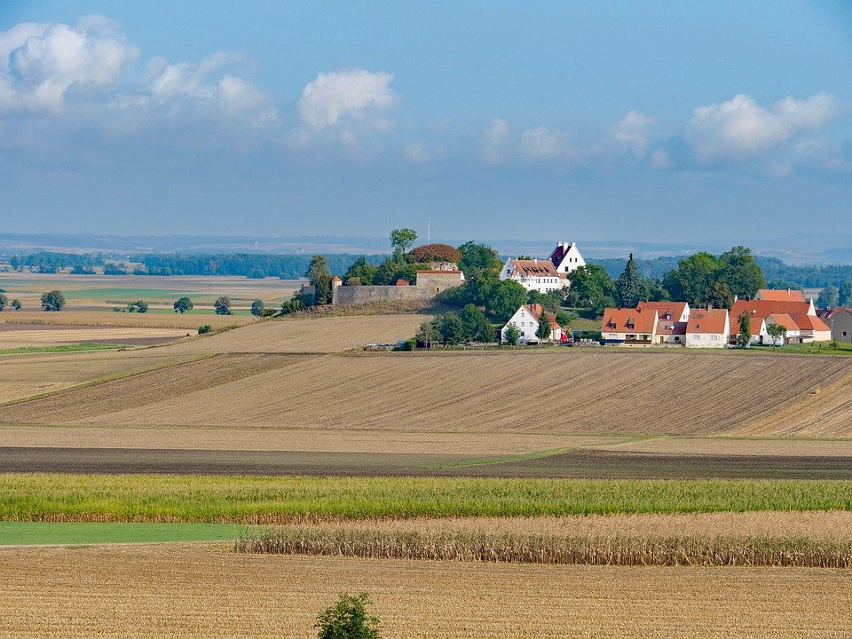
Topographic maps show the shape of land, including mountains and valleys. They are commonly used in land development and construction, as well as by professionals in geology and other disciplines.
They are made by drawing contour lines to connect points of equal elevation. Contour lines that are close together indicate steep terrain, while contour lines that are spaced far apart show gentle slopes.

Accuracy
Accurate topographic maps are essential to the planning and use of land. They can help people locate property boundaries, encroachment and setbacks, legality issues and more.
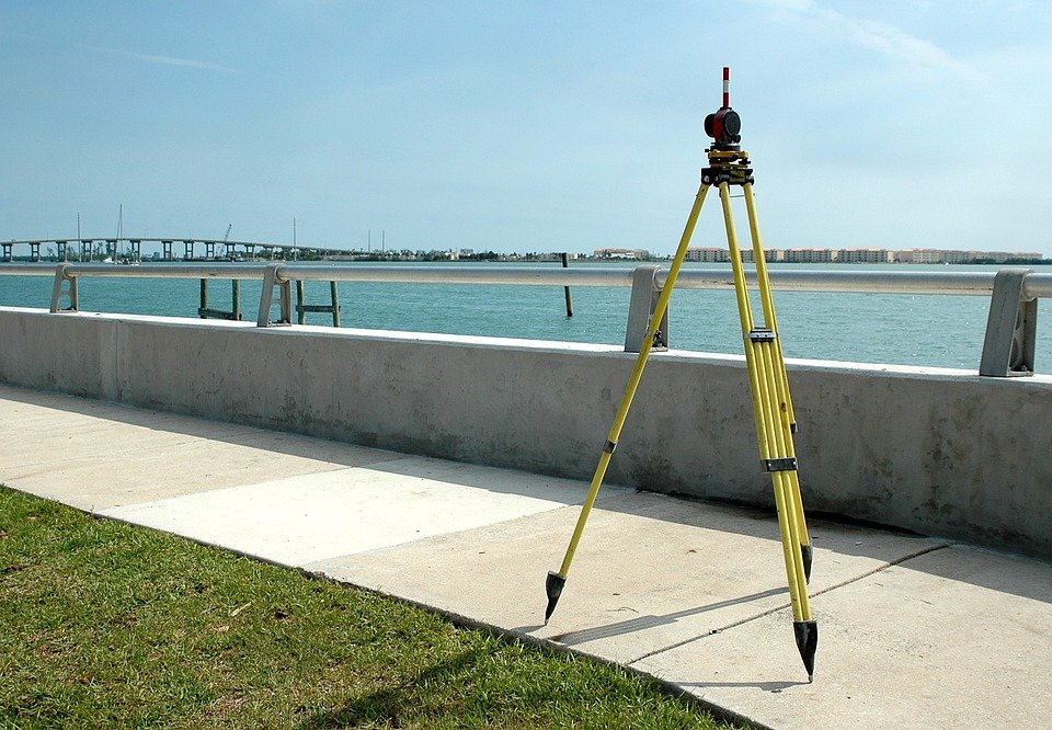
To produce a topographic map, surveyors must first locate and identify control points by conducting field surveys. These include horizontal and vertical control points that are used to establish longitude, latitude and elevations for each map interval.
The process of generating topographic maps is a complex one that requires the skills and expertise of many different individuals, including surveyors, engravers, fact checkers, printers, and more. The accuracy of a map depends on many factors, including the type of survey, terrain and vegetation, and human error.
Encroachment
Encroachments are structures that are built or extended over someone else’s property line without their permission. They can be minor or major, and can impact the value of your home if you decide to sell it in the future.
One way to resolve encroachment problems is by speaking with your neighbor and coming to an agreement about how to handle the situation. However, in some cases, a court case may be necessary to get the offending party to remove their structure.
It’s important to understand that encroachments can happen either intentionally or unintentionally. Some are minor and don’t affect your property value significantly, while others can be a nuisance or a safety concern.
Setbacks
When it comes to land, a topographical map is one of the most important things you can have. Many people use these maps for hiking, camping, and driving.
Topographical maps show the elevation of mountains, the depths of oceans, and the steepness of slopes. They also provide information on water features, vegetation, roads and railroads, cities, mines, and survey control points.
One of the main features that sets a topographical map apart is the use of contour lines to illustrate the shape of the terrain. These imaginary lines connect points that have the same elevation on the Earth’s surface above or below a reference surface, which is usually mean sea level.
Legality
Before you purchase a new home or sell your current one, it is important to be sure that all the lines are straight. This will prevent boundary disputes and encroachments that could cause you serious headaches in the long run.
Typically, property boundaries are determined by physical markers, such as trees, boulders, and rivers. However, these are not always accurate.
Topographic maps are a good place to start when searching for the correct line of demarcation. They provide a precise depiction of the terrain, including elevation and relief.
They can also be used for other purposes, such as tracing the path of a river or finding a national park. They are especially useful for orienteering and hiking, as they can indicate which direction creeks flow, how deep a gully is, or how fast the terrain will change. Often, they can be used by government agencies for emergency management and disaster planning as well. They are often more difficult to produce than a simple map and require specialized equipment.